.webp)
Winter hiking and snowshoeing in Arosa: 7 trails and two snowshoe routes
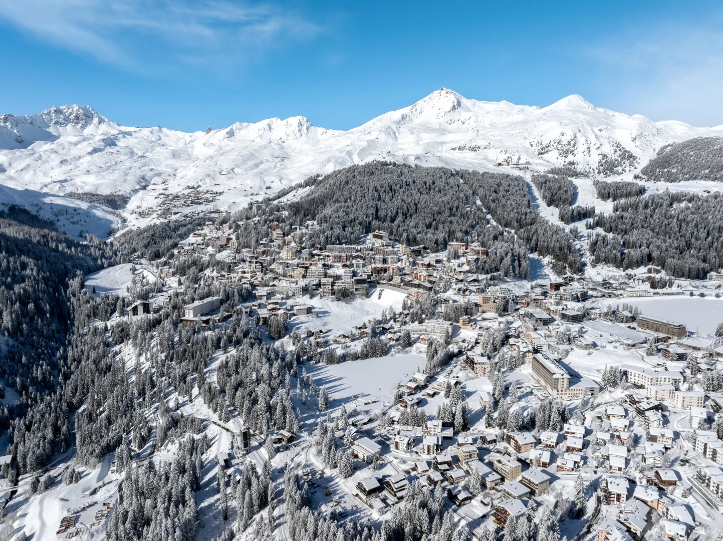
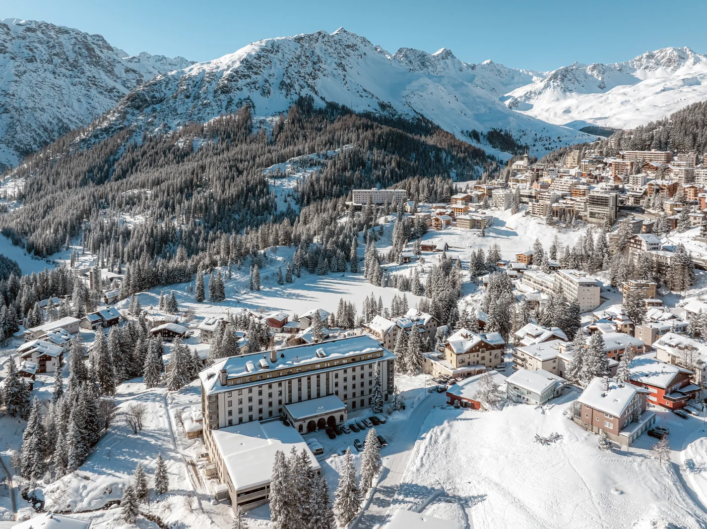
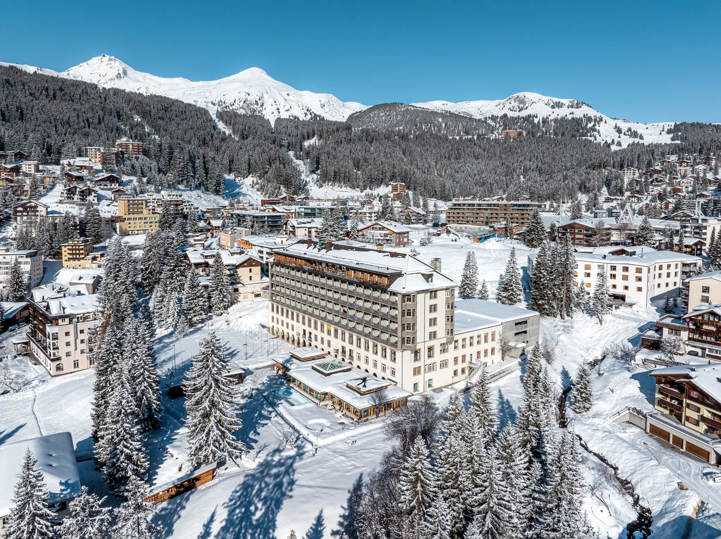
Arosa has more than 60 km of groomed winter walking and hiking trails, and every serviced mountain hut in the ski area can be reached on foot. Winter hiking in Arosa therefore needs no ski pass: most routes start at the railway station, at a free local bus stop or at the middle station of the Weisshorn cable car, and the pink poles that mark the network are easy to follow. This guide lists 7 prepared trails and two marked snowshoe routes, each with distance, ascent, time, start and end point, and what the lift or bus costs. Hotel Altein sits between the two lakes, 500 m from the station and 300 m from the Obersee.
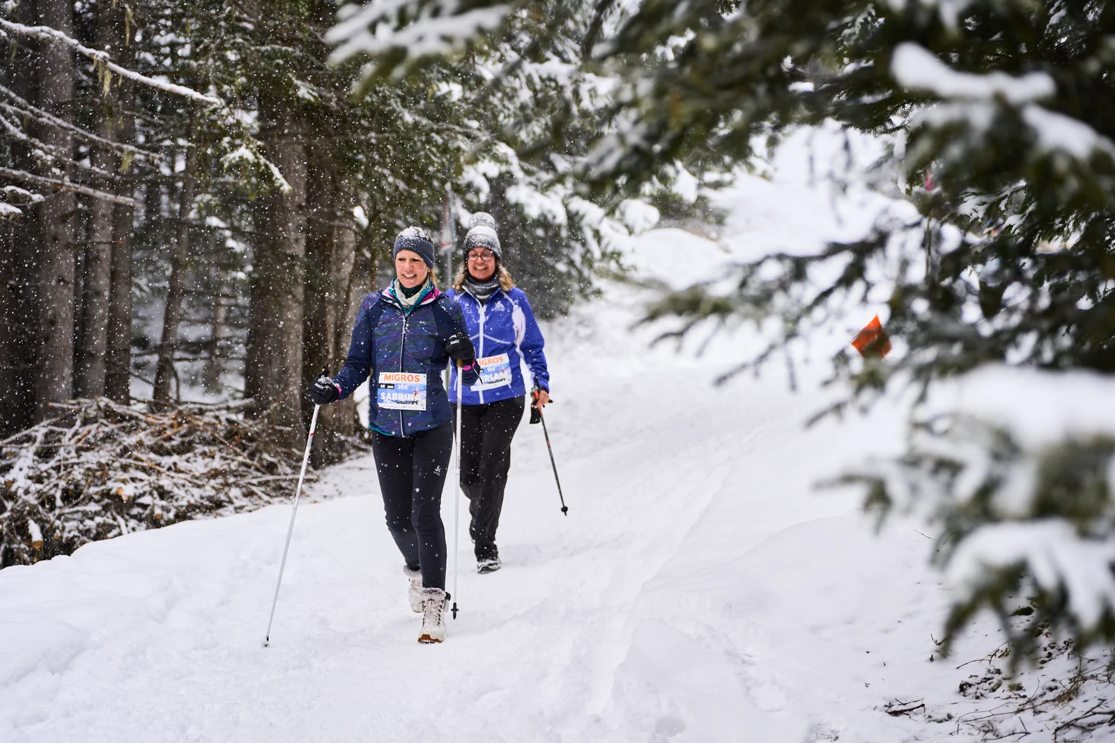
How the trail network works
Arosa Tourismus grooms and signposts the winter trails and publishes a winter hiking map as a PDF; the winter sports report on arosalenzerheide.swiss lists which routes are open on the day. Routes cross ski pistes in places, so give skiers right of way, keep dogs on a lead and stay on the marked line.
The Arosa local bus is free and runs from the station up to Maran, Prätschli and Innerarosa, which turns most one-way routes into loops. Cable cars are extra. A winter hiking ticket for the Arosa Lenzerheide lifts costs about CHF 56 per day for adults, about CHF 37 for ages 13 to 17 and about CHF 19 for children aged 6 to 12 in winter 2026/27, with 2-day and 3-day versions at about CHF 82 and CHF 108. It is valid for pedestrians only, covers the Weisshorn cable car, Brüggerhorn chairlift, Kulm cable car, Hörnli-Express and Urdenbahn, and includes the Rhaetian Railway between Chur and Arosa. Single rides are cheaper for one trip: Arosa to the Weisshorn middle station is about CHF 12 one way and CHF 16 return, Arosa to the summit about CHF 26 and CHF 32. All prices and times here are approximate and given as a guide. Arosa Bergbahnen sets its own fares and adjusts them from season to season, so check the current details on arosalenzerheide.swiss before you go.
7 prepared winter hiking trails
1. Arosa, Prätschli, Maran and the Eichhörnliweg loop
5.3 km, 170 m ascent and descent, about 1 hour 30 minutes, start and end at Arosa station. The trail climbs behind the station through the forest to Prätschli at 1,908 m, the highest point, drops past Maran with views across the valley to Medergen and returns to the village on the Eichhörnliweg, the squirrel trail, where squirrels and nutcrackers take nuts from your hand. The Eichhörnliweg start is 1.2 km from Hotel Altein, 15 minutes on foot, and the squirrel section itself is about 2 km. The route is graded moderate, is listed as suitable for pushchairs and needs no lift.
2. Route 285: Prätschli, Rot Tritt, Scheidegg
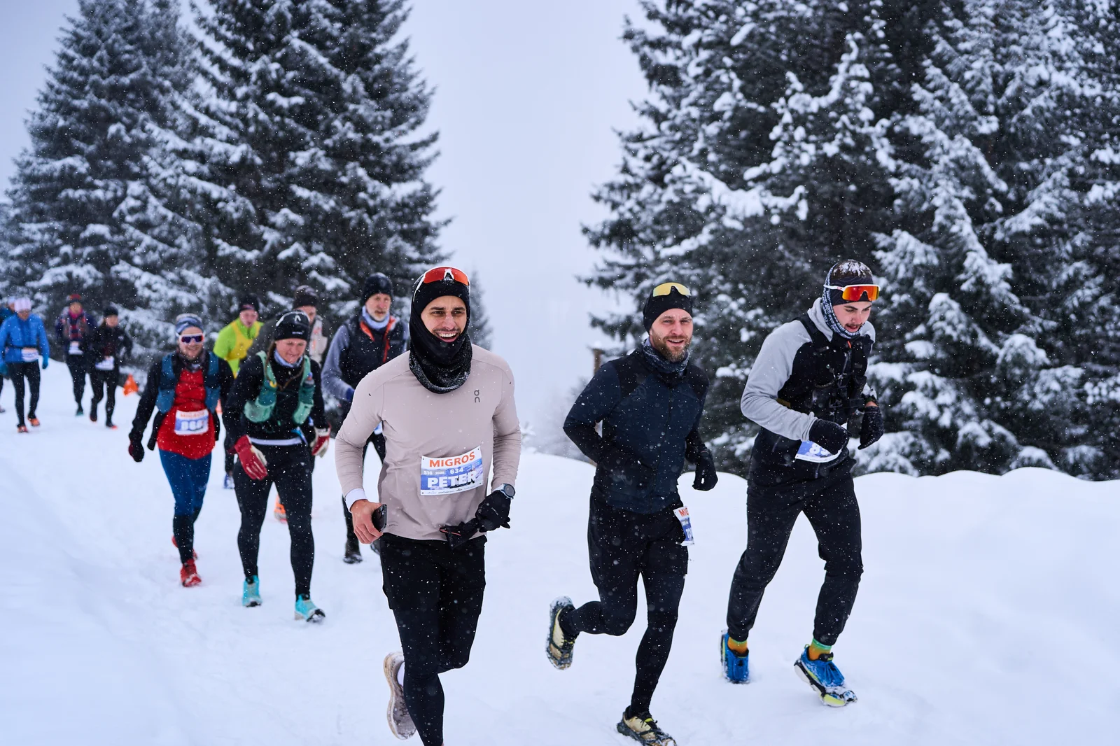
6.5 km, 191 m ascent and descent, about 1 hour 50 minutes, between 1,906 m and 2,097 m. Take the free bus to Prätschli. The loop passes the upper Prätschsee and the Guisanplatz, where General Guisan attended a 1 August celebration during the Second World War, reaches Prätschalp with a view of Medergen and the Sapün and Fondei valleys, then climbs more steeply from the Rot Tritt viewpoint to the Scheidegg before returning to Prätschli. The loop is marked in both directions and needs no lift.
3. Weisshorn middle station to Carmennahütte and Innerarosa
6.7 km, 145 m ascent, 300 m descent, about 2 hours. Take the Weisshorn cable car from the valley station opposite Arosa station to the middle station at 2,013 m, next to Arosa Bärenland (the bears hibernate in winter and the park opens on limited days, check arosabaerenland.swiss). Follow the pink signs to the Carmennahütte at 2,135 m, the highest point, then descend on the Arlenwald route 286 to the Gada bus stop in Innerarosa. The path crosses pistes several times. The lift is one single ride to the middle station, about CHF 12.
4. Middle station to the Weisshorn summit
3.5 km, 640 m ascent, about 1 hour 50 minutes, from 2,013 m to 2,653 m. The route is steep and listed for experienced hikers. The junction to the summit comes about 200 m after the middle station, and the Sattelhütte on the way up has a terrace where you can stop for a rest. Ride the second cable car section back down, about CHF 17 one way.
5. Innerarosa, Bergkirchli and Tschuggenhütte to the middle station
1.7 km, 119 m ascent, about 35 minutes. Start at the Gada bus stop in Innerarosa, pass the Bergkirchli, the chapel completed in 1493 and the oldest building in Arosa, and climb to the Tschuggenhütte before crossing the ski area to the Weisshorn middle station at 2,013 m. Ride the Weisshorn cable car down, about CHF 12, or continue on trail 3.

6. Arosa, Untersee, Litzirüti and Langwies with the train back
7.6 km, 56 m ascent, 478 m descent, about 2 hours 5 minutes. From Arosa station walk to the Untersee, then follow the prepared trail along the Plessur and the railway line down through the forest to Litzirüti and on to Langwies, with a view of the Langwieser Viaduct near the end. Trains back to Arosa run hourly and the trail is shared with sledgers, so keep to the side. No lift is needed, and the return train fare is extra unless you hold a winter hiking or ski ticket.
7. The two lakes from the hotel
The Obersee is 300 m from Hotel Altein and the Untersee lido 800 m, both on cleared village paths, and the Litzirüti trail starts from the Untersee, so from the lake walk you can continue straight onto trail 6.
Two marked snowshoe routes
Snowshoe hiking in Arosa follows routes that are signposted with pink markers but not groomed, and they run into unsecured terrain. Check the SLF avalanche bulletin at slf.ch before every tour, stay out of the wildlife quiet zones, and do your first tour with a guide: the Swiss Ski and Snowboard School Arosa and the Geeser snowshoe centre both run guided outings.
Route 597: Maran, Prätschalp, Maran
3.7 km, 146 m ascent, about 1 hour 30 minutes, between 1,860 m and 2,005 m. Take the free bus to Maran. The trail follows the cross-country tracks into the forest, climbs above the tree line to the Prätschalp, which serves food in winter, continues to the upper Prätschsee and drops back to Maran. The route is graded WT2 on the Swiss snowshoe scale.
Route 598: Easy Trapper
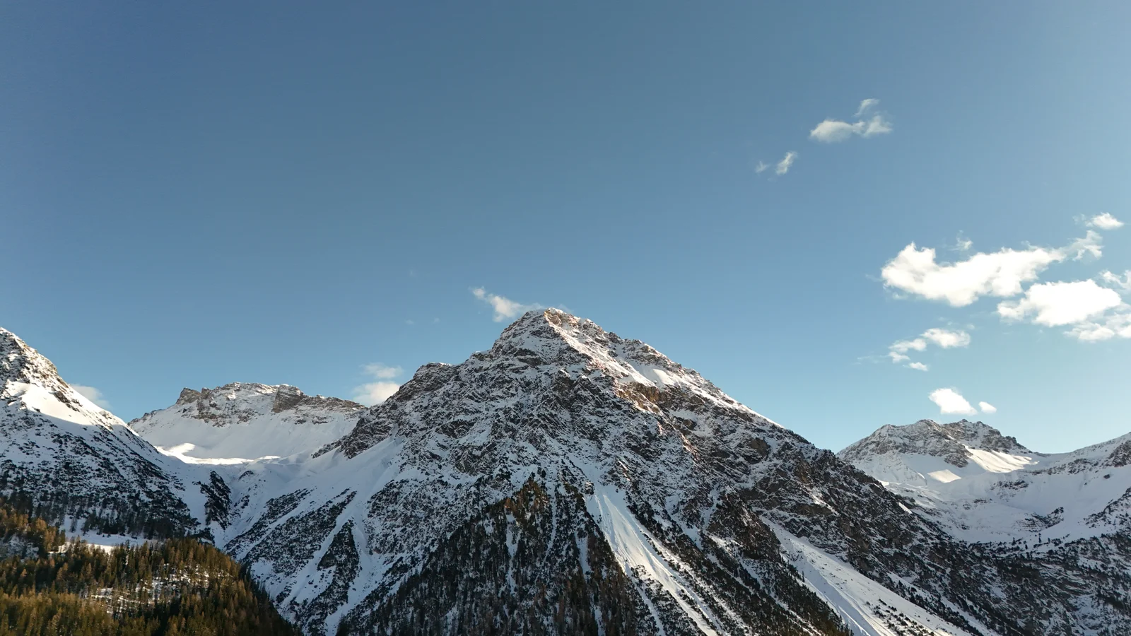
2.3 km, 40 m ascent, about 50 minutes, between 1,825 m and 1,862 m. A gentle loop around the Maran cross-country trails with views to the Weisshorn, Hörnli and Arosa Rothorn. A longer marked loop, Maran to Prätschalp, Scheidegg, Fuchs and Hauptichopf, is on the official map for a half day.
Rental, clothing and where to check conditions
Snowshoes can be hired at Carmenna Sport, Sprecher Sport, Schmid Sport and the Geeser centre; Geeser charges about CHF 25 per day including poles and CHF 58 for 3 days. For the prepared trails you need boots with grip, poles if you like them, layers, a hat, gloves, sun protection and a drink; the trails sit between 1,260 m and 2,653 m and the sun is strong on open sections. Trail status is on the arosalenzerheide.swiss winter sports report and the avalanche bulletin on slf.ch.
Getting to the trails from Hotel Altein
Altein is not at a trail head. The Weisshorn cable car valley station is 600 m away, 9 minutes on foot, Arosa station is 500 m, and the free ski bus stops outside the hotel; Maran is 2.1 km and Prätschli 2.9 km by bus. Back at Hotel Altein, the 950 m² spa with indoor pool, lazy river, saunas and steam bath is open to hotel guests, and the ski room has 186 boot warmers for wet footwear. Come and walk the winter trails with us in Arosa.
Altein, Arosa, a Faern Collection Resort.
Prices, opening times and season dates in this article were correct when it was written and are not updated continuously. Please check the current details with the operator or on the official website before you travel.